-
Identifier
KMP2014_GIS_01
Type
en
lines
Title
KMP2014 GIS data 01
Description
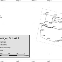
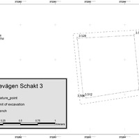
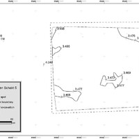
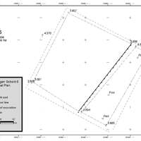
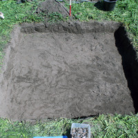
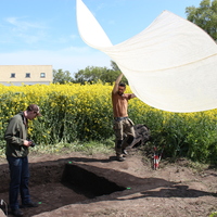
The trenches' GIS representation relative to the 2014 excavation campaign at Kämpinge
Features represented


Investigation campaign
Investigation site
Kämpinge
Format
geojson
Spatial Coverage
The excavation site at Kämpinge
Temporal Coverage
Mesolithic
Software
ArcGIS Pro
Creator
Date Created
July 19, 2022
Rights Holder
LU
License
en
CC-BY 4.0
Other Media
Linked resources
| Kämpinge 2014 |
| test |